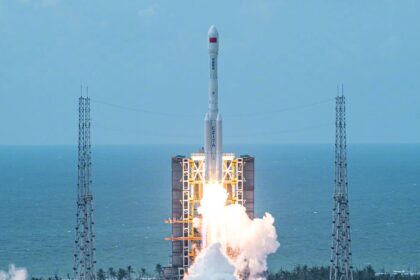
Tianlian is a Chinese data tracking and relay communications geostationary satellite series. The TL-3 (Tian Lian 3) satellites are the 3rd generation of China's geostationary orbit data relay satellit...
Tianlian is a Chinese data tracking and relay communications geostationary satellite series. The TL-3 (Tian Lian 3) satellites are the 3rd generation of China's geostationary orbit data relay satellit...

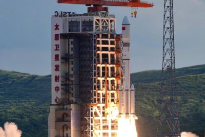
2 Chinese classified satellites claimed to be for communication technology test purposes. Actual mission not known....

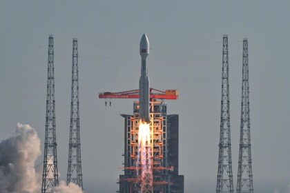
Classified payload for the US National Reconnaissance Office....

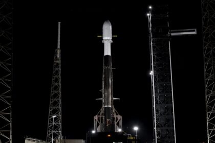
A batch of 24 satellites for the Starlink mega-constellation - SpaceX's project for space-based Internet communication system....
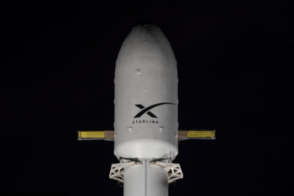
A batch of 24 satellites for the Starlink mega-constellation - SpaceX's project for space-based Internet communication system....

AST SpaceMobile’s Block 2 BlueBird satellites are designed to deliver up to 10 times the bandwidth capacity of the BlueBird Block 1 satellites, required to achieve 24/7 continuous cellular broadband s...